01
Works offline
Download title boundaries and selected layers before you lose coverage. Capture continues in the paddock.
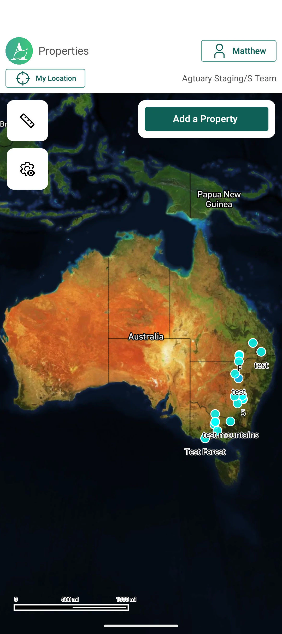
Offline inspections on iOS and Android - photos, notes, GPS and parcels - synced back to the Agtuary property record when coverage returns.
Trusted by rural teams at








If the app needs a signal to capture a photo, it is the wrong app. Agtuary downloads the parcels and selected layers first, then waits to sync.
Download title boundaries and selected layers before you lose coverage. Capture continues in the paddock.
Record what you saw, where you walked, and the photos the file needs - without a paper pad.
Select cadastral parcels in the field so the inspection sits on the right title.
When you are back online, the inspection lands on the same property the CMA and KYE already use.
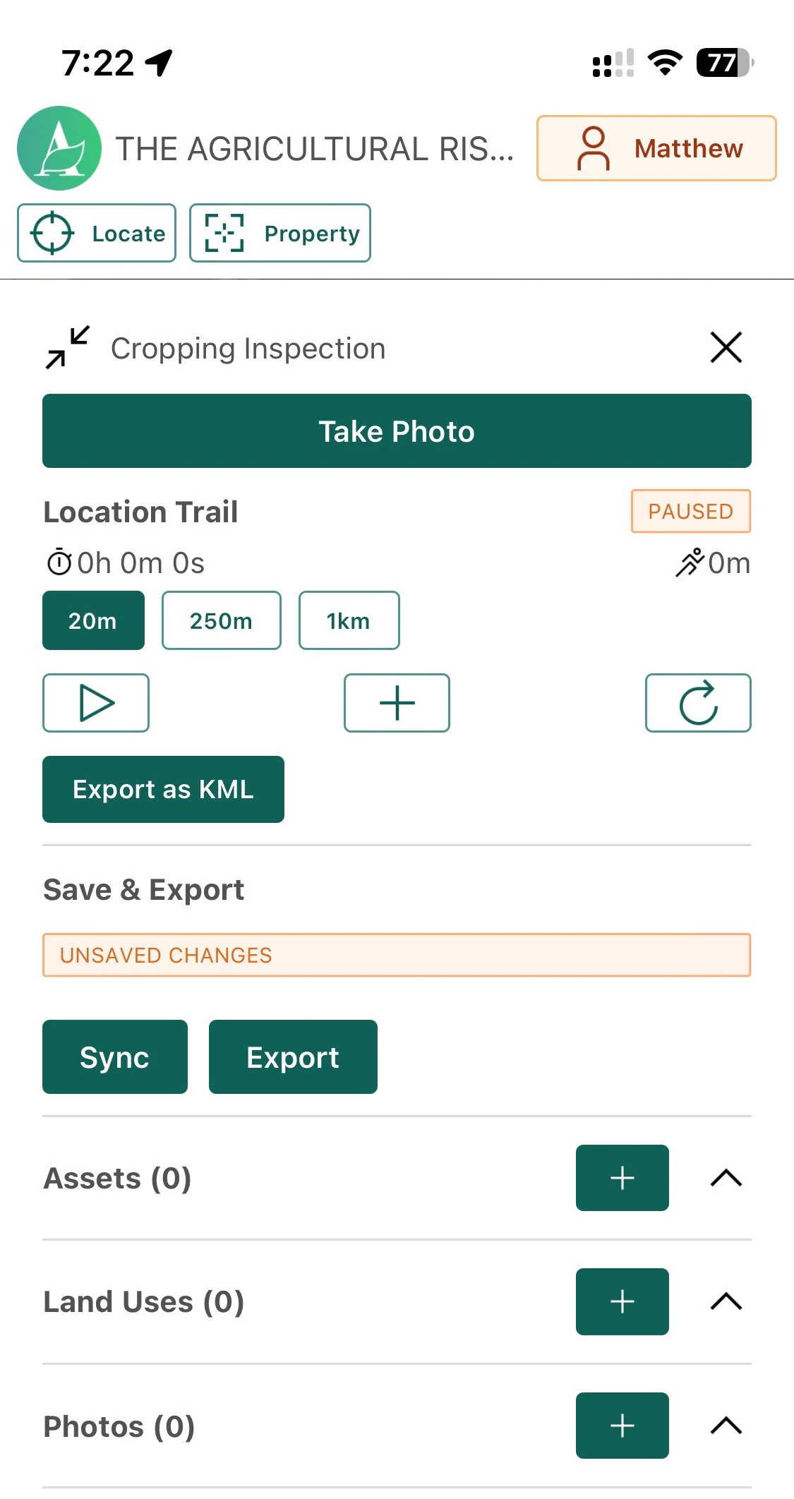
Pull title boundaries and selected layers onto the device while you still have coverage.
Placeholder
Offline download screen
Mobile UI showing layers/parcels queued for offline use.
16/10
Photos, notes, GPS trail, land use and land-change observations - including full valuation inspections.
The inspection report lands on the property record. White-label export is available on eligible plans.
Download title boundaries and selected data layers to the device before you lose coverage.
Capture GPS-located photos, notes, land-use observations, and inspection measurements while offline.
Sync to the web platform when connectivity returns, then export formatted inspection reports, including white-label options on eligible plans.
Capture photos, notes, GPS, and inspection details in the field on iOS and Android, then sync back to Agtuary.