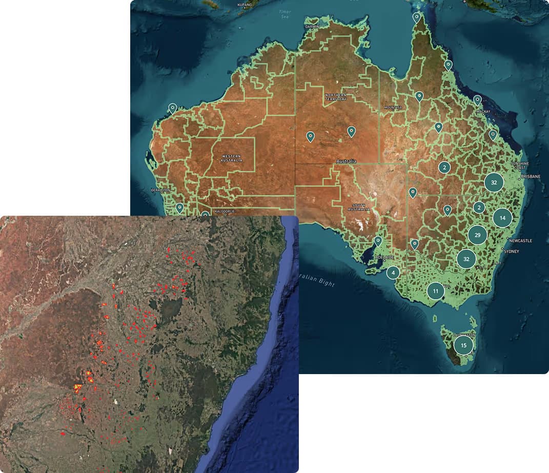
Our Data
Millions of data points, hundreds of layers to accelerate any task.
Agtuary brings together all traditional property data and much more. We provide access to land, climate, and location data to fulfil all due diligence needs for rural property professionals.
Explore our data - Start free trialData categories
Our data eclipses all other providers on the market. A comprehensive solution for everything you need.
Property & Sales Data
- 10+ years of market data history
- Ownership data
- Current & historical listings
- REA Group & PropTrack partnership
- Location information & title details
Land & Environment
- Soil characteristics & classification
- Terrain analysis
- Land cover and arability
- Forest & land use change
- Detected buildings
Climate & Weather
- Seasonal & long-term rainfall patterns
- Historical extreme weather events
- Heat stress, frost & temperature history
- Climate change forecasts
- Fire risk and fire history
Production & Performance
- Yield and production performance
- Agricultural emissions data
- Natural capital metrics
- Sustainability indicators
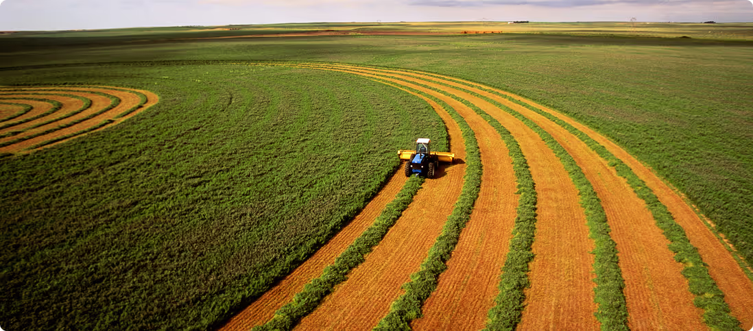
Rural property is inherently tied to the environment, the land and the climate
Without environmental, climate and land characteristics alongside property data, you're only getting half the story.
Sign up for a 7-day free trial