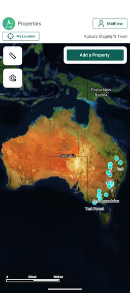
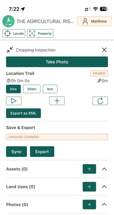
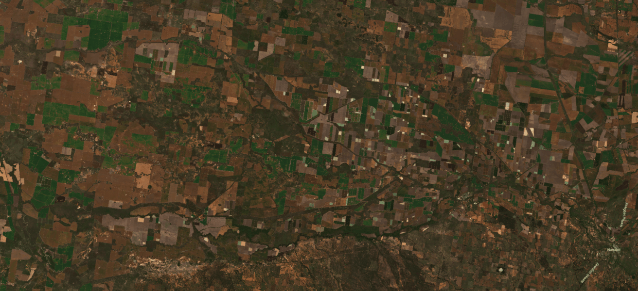
Mapping, Location & Geospatial Services
The most comprehensive land, environment & climate reporting available for Australian properties
Start your 7-day free trial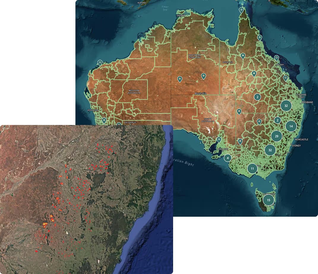
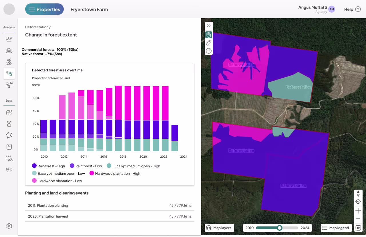
Analysis and continuous insight at any scale
Use the Agtuary Platform to instantly access property market, environment, land use and climate information for any land across Australia
- Location information & title details
- Detected buildings
- Yield and production performance
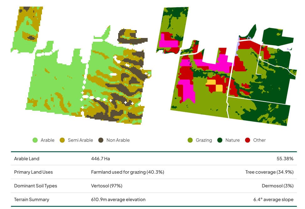
- Land Cover and arability
- Seasonal & long-term rainfall patterns
- Soil characteristics, classification & terrain
- Forest, land cover and land use change
- Fire risk, fire history
- Historical extreme weather events (heat stress, frost & temperature history)
- Climate change forecasts
Portfolio mapping and title mapping for financial institutions
Professionals across finance, property and agricultural sectors rely on Agtuary's geospatial and property analysis for business critical data
Agtuary provides a bespoke (including automated) service that matches, cleans and locates land titles and securities for the finance sector with success rates for automated processes in excess of 95% for the rural sector.
Agtuary is used by Australia's largest banks to ensure up to date and accurate mapping of securities.
Portfolio mapping can be performed in a batched process or on-demand via API.
An unmatched level of quality and security
Unlike other providers, 100% of Agtuary's technical capability is in-house ensuring the highest levels of quality & security
Our technology suite is 100% developed and maintained in house leveraging best infrastructure, security and development practices. Our services are utilised nationally, 24/7 by a growing group of customers who seek constant innovation as well as secure handling of their data.
Get in touch to learn more