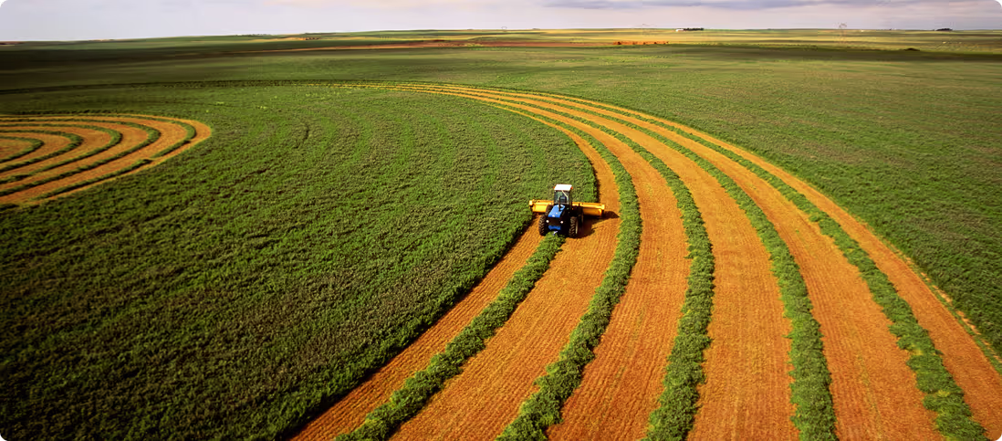
Enterprise, Utilities & Government
Land development, project management, mining & supply chain
Agtuary provides enterprise, utilities and government professionals with dedicated tools and data for the rural sector.
Start your 7-day free trialWhat we offer
- Analysis and continuous insight at any scale
- Critical data before you break ground
- End-to-end monitoring across the whole lifecycle
- Site analysis and identification
- Compliance with GBCA, TCFD, TNFD
Analysis and continuous insight at any scale
Whether in planning stages, mid project or monitoring restoration, Agtuary's analytics provide continuous oversight.
- Monitor nature, forest, habitats, catchments
- Evaluate fire, flood & climate risk
- Deforestation monitoring
- Planning & project reporting
- Meet compliance with GBCA, TCFD, TNFD
Critical data before you break ground
Critical information for Utilities, Energy and Renewables Sites.
- Site analysis and identification
- Site valuation and portfolio analysis
- Transmission line mapping
- Compliance with Council, State, Federal legislation
- Meet compliance with CER/AEMO, TCFD, TNFD
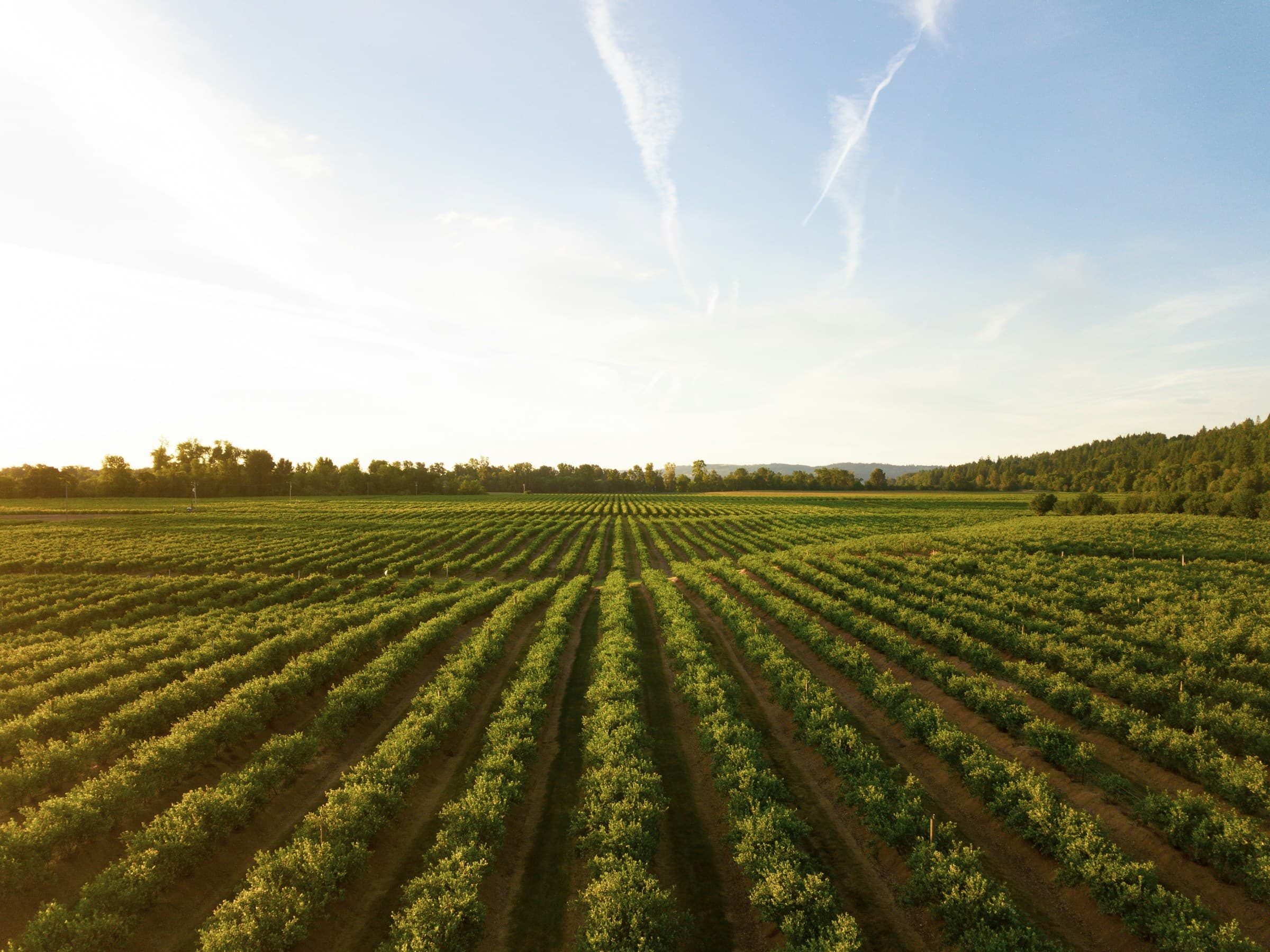
End-to-end monitoring across the whole lifecycle
Agtuary's analytics support mining, supply chain and industrial sites undergoing development, operations & rehabilitation.
- Site analysis and identification
- Site valuation and portfolio analysis
- Nature, forest, habitat, catchment monitoring
- Fire, flood, climate risk assessment